
Home / Our Services / Mapping & Site Intelligence
Mapping & Site Intelligence
Turn your site into information you can work with.
Good planning starts with understanding what's already there.
Maguire Aerial Mapping combines aerial capture, RTK positioning and project-specific mapping to create a clear picture of your site and the features that matter to your project.
Map your site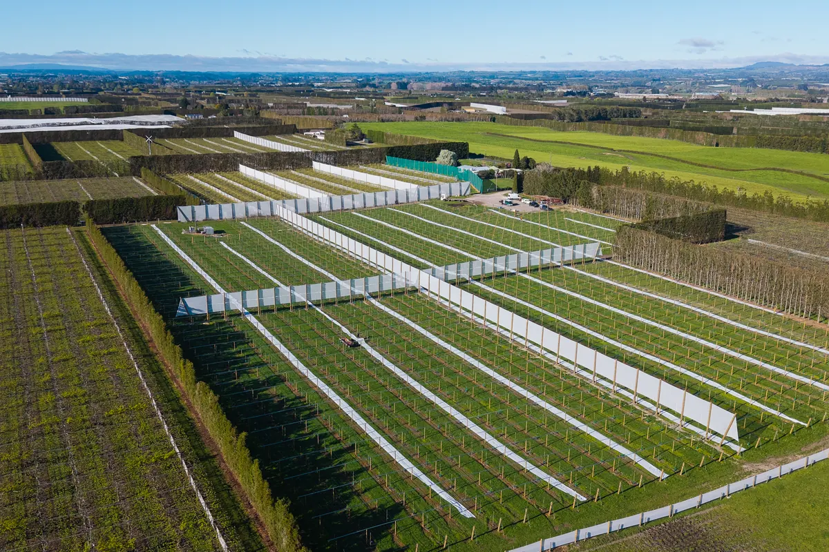
Rendered live in your browser to show the idea. Not survey data from a real site.
01
Aerial mapping
Capture larger areas from above and turn overlapping imagery into a detailed mapped view of the site.
Depending on the project, this can support:
- Existing-site documentation.
- Orchard and horticultural mapping.
- Construction planning.
- Earthworks documentation.
- Infrastructure mapping.
- Property and asset records.
- Project communication.
- Change and progress records.

02
RTK positioning
RTK-enabled equipment allows us to record agreed locations and features and integrate positional information into mapping and design workflows.
Depending on the scope, this may include:
- Existing infrastructure.
- Posts and structures.
- Accessways.
- Site features.
- Proposed orchard rows.
- Proposed infrastructure positions.
- Construction reference points.
- Points requiring future work.
03
Orchard layout design
Our horticultural background allows us to take mapping further than simply producing an aerial image.
We can work through proposed orchard layouts and infrastructure before construction begins, helping customers visualise and review the proposed development.
Layouts can include agreed features such as:
- Rows.
- Post positions.
- Shelters.
- Accessways and headlands.
- Infrastructure.
- Block layouts.
- Construction reference points.
04
Deliverables built around the job
Depending on what your project requires, deliverables may include mapped imagery, annotated plans, location data and compatible digital files.
We agree the required format, coverage, accuracy checks and intended use before capture begins.
Mapping and positioning services do not establish legal property boundaries. Where cadastral or other regulated surveying work is required, this must be undertaken by an appropriately qualified professional.
Let's Talk
What do you need to understand about your site?
We'll help determine what information would actually be useful.